

Earth Science Research Unit (ESRU)
The specialized Earth science and mineral exploration unit of Tierra Veritas Scientific Solutions.
ESRU focuses on scientific investigation of Earth systems, geological processes and mineral resources. As part of Tierra Veritas Scientific Solutions, ESRU develops research-driven approaches to geological mapping, mineral exploration and Earth science applications that can support responsible resource understanding and decision-making.
Scientific & Geological Capabilities
A. Geological Exploration

ESRU conducts foundational mapping and structural investigations to resolve complex regional frameworks and identify prospective geological targets.
Activities: Regional Mapping, Structural Analysis, Lithological Characterization

B. Mineral Exploration
C. Geochemistry
We lead targeted exploration campaigns designed for the systematic discovery and evidence-based assessment of critical and base metal deposits.
Utilizing high-resolution chemical analysis of Earth materials to delineate geochemical anomalies and understand elemental mobility in various environments.
Activities: Target Generation, Prospectivity Mapping, Tenement Evaluation
Activities: Stream Sediment Surveys, Soil Geochemistry, Rock Chip Analysis

D. Geophysics
We employ non-invasive subsurface imaging techniques to identify prospective geological structures based on contrasting physical properties.
Activities: Magnetic Surveys, Gravity Surveys, Electromagnetics
E. Drilling
ESRU manages precision drilling programs to extract subsurface samples, providing the essential validation of geological targets.
Activities: RC, Diamond Core Drilling, Auger Management
F. Core Logging & Sampling
A meticulous approach to recording and extracting geological data from physical samples to identify and quantify resource potential.
Activities: Geotechnical Logging, Mineralogical Description, QA/QC
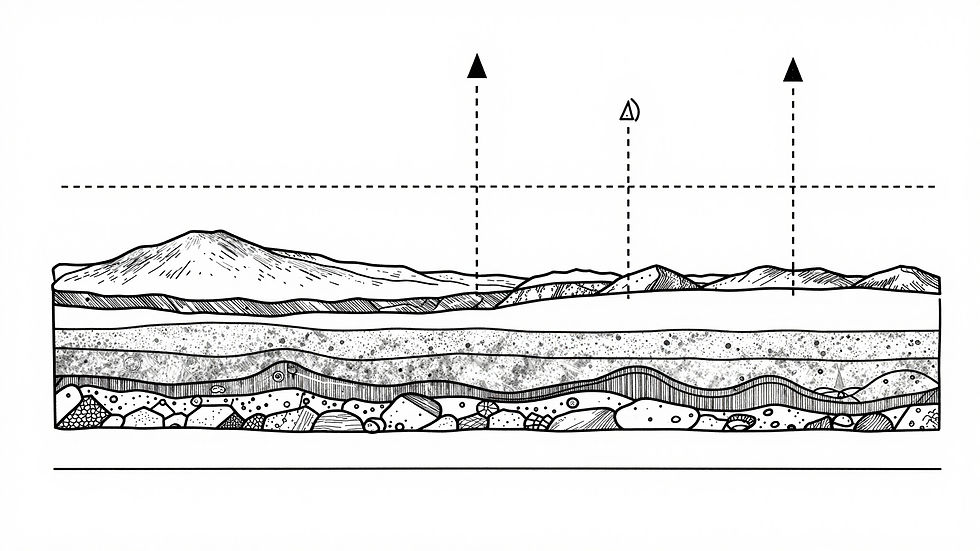
G. 3D Modelling & Resource Evaluation
We integrate geostatistical estimation with volumetric modelling of mineralized bodies to support efficient resource evaluation and mine planning.
Activities: Block Modelling, Grade Estimation, Variography
I. GIS & Remote Sensing
Providing spatial intelligence through the analysis of satellite and aerial data, delivering terrain understanding at regional and local scales.
Activities: Satellite Imagery, Spectral Unmixing, Web GIS

J. Hydrogeology & Water Resources
ESRU investigates groundwater movement and quality to ensure sustainable water resource development and industrial compliance.
Activities: Aquifer Characterization, Dewatering, Water Chemistry


H. Mining Geology & Technical Studies
Applied geological expertise dedicated to optimizing operational performance through advanced technical studies and mine planning support.
Activities: Grade Control, Pit Mapping, Feasibility Input
K. Environmental Geoscience
We manage the critical intersection of geology and environmental health to ensure long-term operational sustainability and compliance.
Activities: Tailings Characterization, Baseline Studies, Reclamation
L. Training & Capacity Building
ESRU provides high-level scientific investigate Earth systems and technical training to empower geoscience professionals through applied knowledge programs.
Activities: Field Workshops, Software Training, Seminars